Ezigrade (version 2)
Welcome
Ezigrade License Authorisation
General Information on Ezigrade
Initial Screen
Variable Ascii
Trimble Machine (.gps)
Farmscan Path File
AMW (nez)
ESRI (shp) File
Multiplane (txt) File
LandXML (xml) File
Explanation of Ezigrade User Interface
Ezigrade User Interface
Fields Docking Window
Grid Docking Window
GPS Docking Window
Best Fit Drain Docking Window
Points Docking Window
File Menu
Export Trimble Field Level 11
Import Menu
Export Menu
GPS Menu
Fields Menu
Grid
View Menu
Grading Menu
Contour Menu
Measure Menu
Tools Menu
Outlet Menu
Drains Menu
Banks Menu
Pipes Menu
Report Menu
Obtaining Data
Checking and Displaying Data
Pickup using GPS
Sections
Plane or Smooth Grading
Plane of Best Fit
Constrained Surface of Best Fit
Printout / Plot
Field Rotation Error's
Mathematical Basis for Algorithms
Tutorials
Least Squares Plane
Two Hinged Plane's Design
Smooth Surface of Best Fit
Plane and Smooth Surface Together
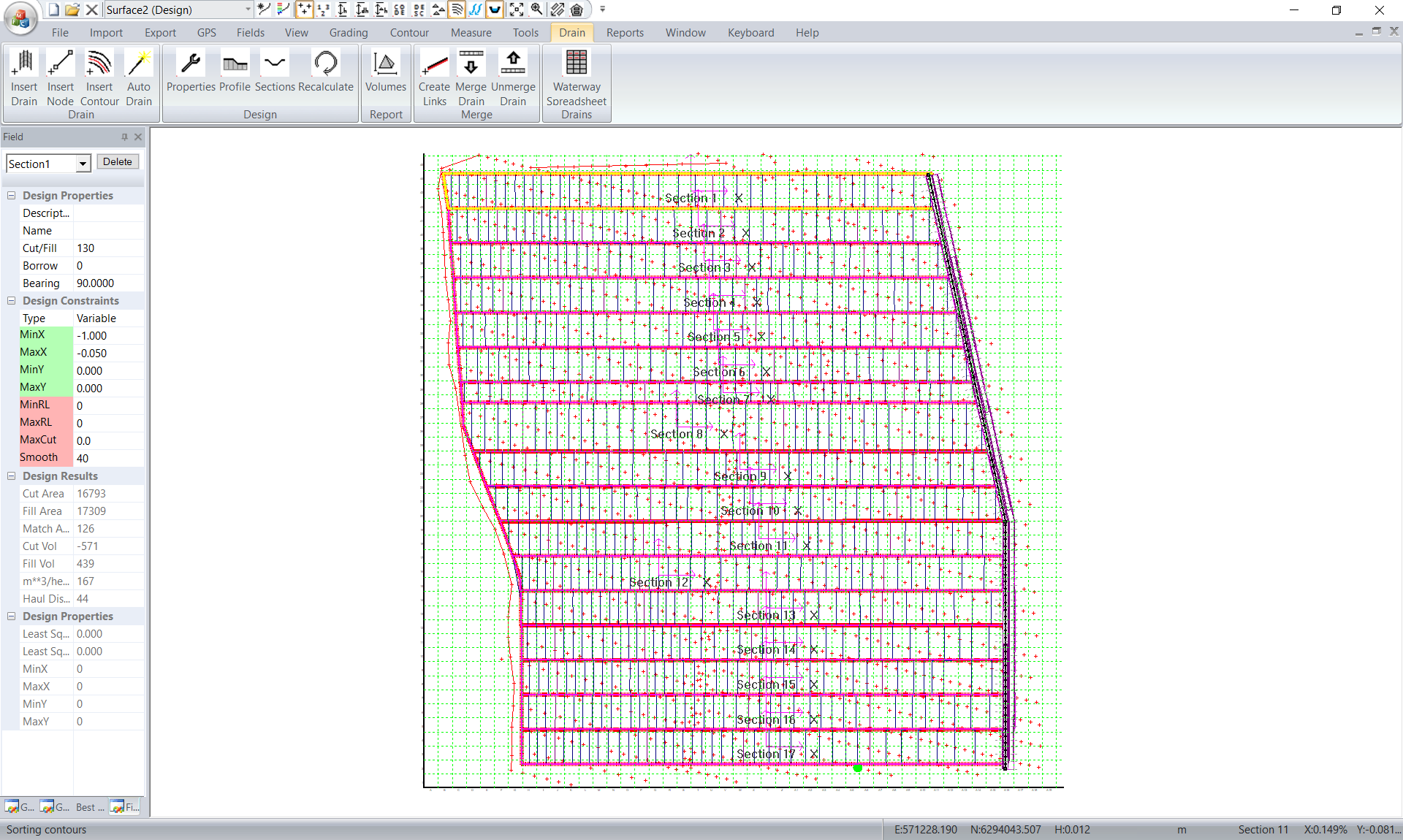
Smooth Surface - Multiple Sections
All Way design comparison with outlet
Pivot Design
Constrained Point Example
Gridding the data and designing
Designing a Drain - then Drainage Network
Auto Drain
Adding a Drain to a Grading Design
Designing a Ring Tank
Ponded Landscape with Drains
Rice Paddy design with edge Drains
Section design with head ditch and tail drain
Design within Ezigrade
Design within CDS
Vegetable Farm Design
Pipe Design
Haulage Lines
Appendix
Running Ezigrade under IGrade
Installing Serial Port to Igrade
Checking data is received to Ezigrade
Picking up Survey Data with Ezigrade
Design Back to Igrade
Convert DWG to Field Level II file
Convert Civil Design to Field Level II file
Convert Agform-3D™ to Field Level ll file.
Export Data into Agform-3D™
To properly display this page you need a browser with JavaScript support.
Next page >
Ezigrade Version4
User guide
2018
TODO: Change the footer's content in
Project Settings : HTML (CHM) Export : Setup HTML Template and Layout